

GPSC Compendium: Data-informed Urban Planning

16 MARCH 2017

Urban planning is a powerful tool that can be harnessed to meet an area's economic, social, cultural and environmental needs and to make visions for that area a reality. A host of factors contributes to the successful development and implementation of urban plans, including strong institutional coordination, rule of law, integration across scales and sectors, and financing. But a crucial step in developing strong plans is for cities to gain a deep understanding of their existing and future needs. Technological and social innovations have made this step easier for planners, who can now collect and analyze Big Data to gain better insight into interrelated urban systems. Reliable, accessible data can provide an objective source of information on which to base planning decisions and can strengthen the overall planning process.

Partners

Theme

Keywords

Downloads

Download
Related Content
View all

Data

Analyzing the Spatial Patterns of the Elderly's Daily Activities

Traditional planning overlooks diverse needs in ageing cities, requiring data‑driven spatial strategies to support health, accessibility and active aging.
Knowledge Product

Learn more

Data

EO4SD-Urban Project: Vijayawada City Report

GPSC provides Vijayawada with satellite imagery through EO4SD‑Urban, delivering geospatial products to better understand urban expansion.
Knowledge Product

Learn more

Data

Transport Emission Mapping, Monitoring and Capacity Building in 5 Selected African Cities

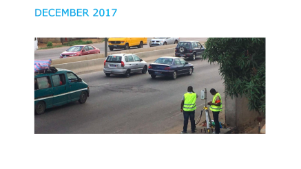
A pilot in five African cities built capacity to monitor emissions, producing tools and recommendations to scale low‑emission urban transport.
Knowledge Product

Learn more