GPSC Compendium: Data-informed Urban Planning

16 March 2017

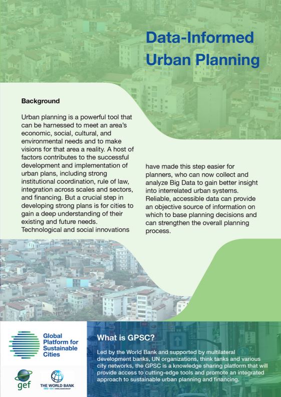
Urban planning is a powerful tool that can be harnessed to meet an area's economic, social, cultural and environmental needs and to make visions fro that area a reality. A host of factors contributes to the successful development and implementation of urban plans, including strong institutional coordination, rule of law, integration across scales and sectors, and financing. But a crucial step in developing strong plans is for cities to gain a deep understanding of their existing and future needs. Technological and social innovations have made this step easier for planners, who can now collect and analyze Big Data to gain better insight into interrelated urban systems. Reliable, accessible data can provide an objective source of information on which to base planning decisions and can strengthen the overall planning process.

Partners

Theme

Downloads

Download
Related Content
View all

Data

Calculating Indicators From Global Geospatial Data Sets for Benchmarking and Tracking Change in the Urban Environment

This technical note discusses methods for using these data in combination with locally meaningful jurisdictional boundaries to calculate local measurements of indicators on several themes—including
Knowledge Product

Learn more

Data

Geospatial data and Spatial planning [Resources]

The City Academy on geospatial data application presents the main concepts of using satellite data and types of satellite data to be used for geo-spatial products. Furthermore, the event draws on a
Knowledge Product

Learn more

Data

Transport Emission Mapping, Monitoring and Capacity Building in 5 Selected African Cities

The report, commissioned by the African Development Bank and prepared by Ramboll Environ, documents a pilot project in five African cities—Abidjan, Rabat, Yaoundé, Dar es Salaam, and Lusaka—aimed at
Knowledge Product

Learn more