Understanding cities and land through spatial data and analytics
Node Page:
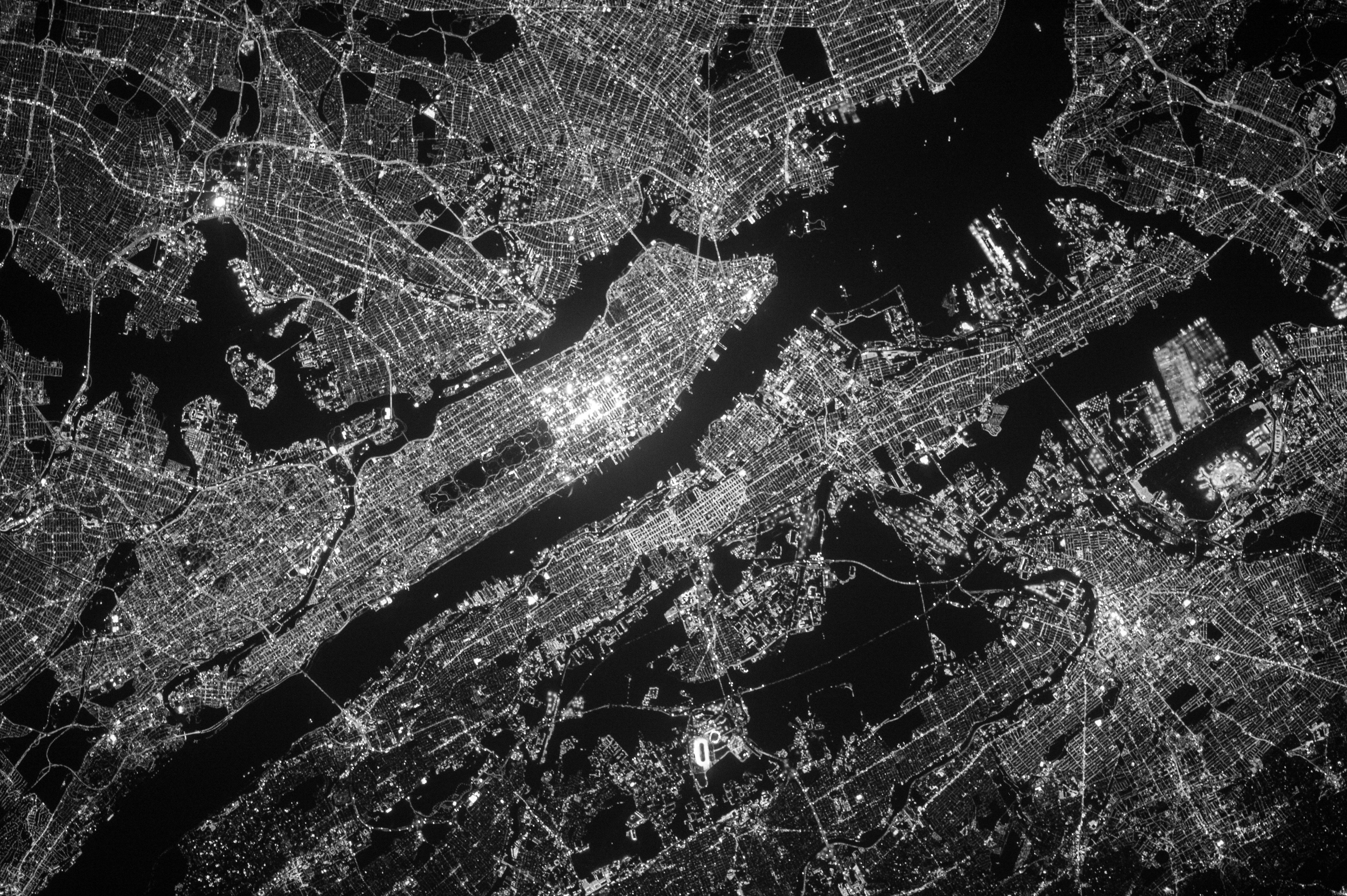
Geospatial Data and Indicators
Image:
Color Filter:
Climate Change
sub title show:
Yes
Understanding cities and land through spatial data and analytics
More data are available today than ever before. Yet too often policymakers, business leaders, and analysts cannot access the data they need to make informed decisions about the environment and human well-being. That’s why WRI and over 30 partners built Resource Watch, a dynamic platform that leverages technology, data, and human networks to bring unprecedented transparency about the planet right now. Resource Watch features hundreds of data sets all in one place on the state of the planet’s resources and citizens.
WRI produces and curates data sets as part of our commitment to turn information into action. These products are based on our research, which are held to traditional academic standards of excellence, including objectivity and rigor.
Click to see the datasets.
The project “Earth Observation for Sustainable Development-Urban” (EO4SD-Urban) was initiated in May 2016 and is supported by the European Space Agency (ESA).
The main objectives are to improve understanding of EO applications for urban development with the Multi-Lateral Development Banks and developing countries, and to mainstream EO applications in an operational manner into development programmes.
Phase 1 was completed successfully by end of 2017.
Phase 2 now continues with new Cities and Stakeholders.
Urban planning is a powerful tool that can be harnessed to meet an area's economic, social, cultural and environmental needs and to make visions fro that area a reality. A host of factors contributes to the successful development and implementation of urban plans, including strong institutional coordination, rule of law, integration across scales and sectors, and financing. But a crucial step in developing strong plans is for cities to gain a deep understanding of their existing and future needs.