This technical note discusses methods for using these data in combination with locally meaningful jurisdictional boundaries to calculate local measurements of indicators on several themes—including access to urban amenities, air quality, biodiversity, flooding, climate change mitigation, heat, and land protection and restoration—relevant to urban decision-makers, researchers, and other stakeholders.
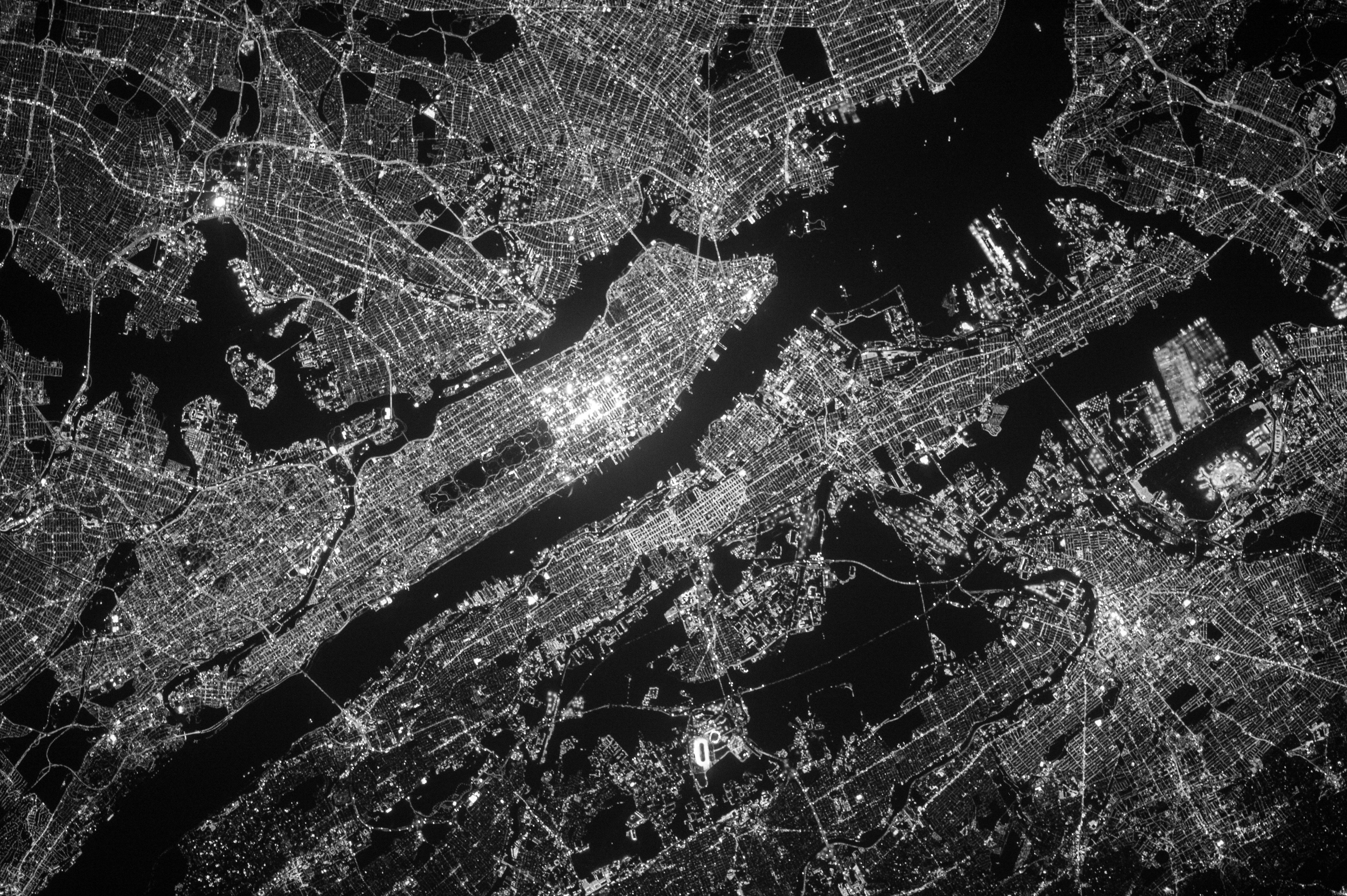
GPSC is providing cities with urban extent imagery to facilitate a finer-grained understanding of urban expansion. This GPSC knowledge product for Lima contains information related to the provision of geo-spatial products from the European Space Agency (ESA) supported project “Earth Observation for Sustainable Development” Urban Applications (EO4SD-Urban), which is co-ordinated by GAF Germany in collaboration with a consortium of Earth observation service providers in Europe.
GPSC is providing cities with urban extent imagery to facilitate a finer-grained understanding of urban expansion. This GPSC knowledge product for Saint Louis contains information related to the provision of geo-spatial products from the European Space Agency (ESA) supported project “Earth Observation for Sustainable Development” Urban Applications (EO4SD-Urban), which is co-ordinated by GAF Germany in collaboration with a consortium of Earth observation service providers in Europe.
GPSC is providing cities with urban extent imagery to facilitate a finer-grained understanding of urban expansion. This GPSC knowledge product for Dakar contains information related to the provision of geo-spatial products from the European Space Agency (ESA) supported project “Earth Observation for Sustainable Development” Urban Applications (EO4SD-Urban), which is co-ordinated by GAF Germany in collaboration with a consortium of Earth observation service providers in Europe.
GPSC is providing cities with urban extent imagery to facilitate a finer-grained understanding of urban expansion. This GPSC knowledge product for Campeche contains information related to the provision of geo-spatial products from the European Space Agency (ESA) supported project “Earth Observation for Sustainable Development” Urban Applications (EO4SD-Urban), which is co-ordinated by GAF Germany in collaboration with a consortium of Earth observation service providers in Europe.
GPSC is providing cities with urban extent imagery to facilitate a finer-grained understanding of urban expansion. This GPSC knowledge product for Abidjan contains information related to the provision of geo-spatial products from the European Space Agency (ESA) supported project “Earth Observation for Sustainable Development” Urban Applications (EO4SD-Urban), which is co-ordinated by GAF Germany in collaboration with a consortium of Earth observation service providers in Europe.
The City Academy on geospatial data application presents the main concepts of using satellite data and types of satellite data to be used for geo-spatial products. Furthermore, the event draws on a wealth of experiences from the European Space Agency (ESA) supported by “Earth Observation for Sustainable Development” (EO4SD) Urban program’s collaboration with World Bank and GPSC in the past 3 years presenting case studies on the various utilities of geo-spatial data for Bank programs.
GPSC is providing cities with urban extent imagery to facilitate a finer-grained understanding of urban expansion. This GPSC knowledge product for Bhopal contains information related to the provision of geo-spatial products from the European Space Agency (ESA) supported project “Earth Observation for Sustainable Development” Urban Applications (EO4SD-Urban), which is co-ordinated by GAF Germany in collaboration with a consortium of Earth observation service providers in Europe.
GPSC is providing cities with urban extent imagery to facilitate a finer-grained understanding of urban expansion. This GPSC knowledge product for Vijayawada contains information related to the provision of geo-spatial products from the European Space Agency (ESA) supported project “Earth Observation for Sustainable Development” Urban Applications (EO4SD-Urban), which is co-ordinated by GAF Germany in collaboration with a consortium of Earth observation service providers in Europe.