Geospatial data and Spatial planning [Resources]
15 SEPTEMBER 2019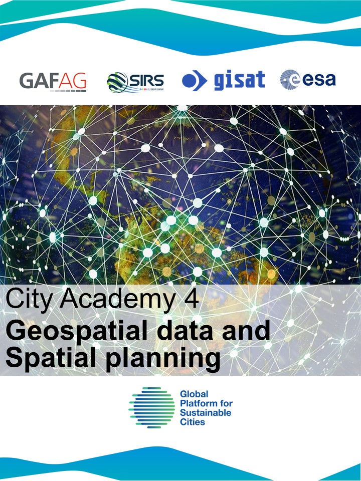
The City Academy on geospatial data application presents the main concepts of using satellite data and types of satellite data to be used for geo-spatial products. Furthermore, the event draws on a wealth of experiences from the European Space Agency (ESA) supported by “Earth Observation for Sustainable Development” (EO4SD) Urban program’s collaboration with World Bank and GPSC in the past 3 years presenting case studies on the various utilities of geo-spatial data for Bank programs. The main objective is to raise awareness on the applications of geo-spatial data, challenges for implementation and sustainability of the technology.
Please click on the links to download the presentations.
DAY 1
What can EO provide for Urban Application? Overview on geo-spatial products and quick show of example use cases. Amelie Broszeit, GAF AG.
Introduction to Concepts in Remote Sensing Presentation of different satellites, sensors and their specifications. Hervis Ghomsi, SIRS. An overview on Remote Sensing for Cities Support on the Ground. Tomas Soukup, GISAT.
Introduction to basic steps in production of Land Use Maps. Review of data acquisition, pre-processing, classification. Hervis Ghomsi, SIRS.
Application of spatial analytics using LU maps for urban planning. Principles demonstrated via city cases. Amelie Broszeit, GAF AG, Tomas Soukup, GISAT.
Online platform for generating spatial analytics and statistics: Urban Thematic Exploitation Platform (U-TEP). Showcases from GPSC cities. Tomas Soukup, GISAT.
DAY 2
SDG 11: Using geo-spatial data for assessment of Indicators for SDG11. Examples, which indicators can be supported by geo-spatial data. Amelie Broszeit, GAF AG.
Improving urban livelihoods: how can satellite data assist to reach this goal. Examples from city cases. Tomas Soukup, GISAT.
EO Data for climate resilience and disaster management city plans. Examples from specific city cases. Hervis Ghomsi, SIRS.
Land valuation and assessment of property taxes from geo-spatial data. Example from specific city cases. Amelie Broszeit, GAF AG.
Organizers:
GAF AG, Munich, Germany. One of the leading European Consulting firms in the field of geo-spatial information. Experiences in a wide range of topics, including urban e.g. urban block models, urban city structure analysis, 3D visualization, change analysis, infrastructure planning and digital surface models. Project experience with IFIS, national authorities and organizations and the private sector.
GISAT, Prague, Czech Republic. Czech company providing earth observation value-added services with long heritage in land monitoring, emergency management support and security in urban context from local to global urban customers. Projects experience with geoinformation support of the IFIS' sustainable development activities, e.g. Platform for Urban Management and Analysis (PUMA), and Urban Thematic Exploration Platform (UTEP).
SIRS, Lille, France. French remote sensing company with significant contribution into European Copernicus program especially for land monitoring services. With focus on urban topics through the management of projects such as Urban Atlas, HRL Imperviousness. Experience in development corporation projects in Africa, Asia and South America.
ESA. Europe. The European Space Agency (ESA) is Europe's gateway to space. Its mission is to shape the development of Europe's space capability and ensure that investment in space continues to deliver benefits to the citizens of Europe and the world.